
Resolution of the Cabinet of Ministers of the Republic of Uzbekistan ON THE PROCEDURE FOR ESTABLISHING WATER PROTECTION AND SANITARY PROTECTION ZONES OF WATER BODIES ON THE TERRITORY OF THE REPUBLIC OF UZBEKISTAN, No. 981 of 11.12.2019
Of the Regulation on the procedure for establishing water protection and sanitary protection zones of water bodies on the territory of the Republic of Uzbekistan
Chapter 2. Establishing water protection and sanitary protection zones of water bodies
The projects are developed by the “Uzdavyerloyiha” State Scientific and Design Institute of the Ministry of Agriculture of the Republic of Uzbekistan (hereinafter — the “Uzdavyerloyiha” design institute), involving, where necessary, other design organisations.
The development of the project for establishing water protection and sanitary protection zones is organised in the established manner with the involvement of the “Uzdavyerloyiha” design institute on a contractual basis;
The “Uzdavyerloyiha” State Scientific and Design Institute:
complies, taking into account the development of the water management and household drinking water supply system, with the current norms for their use, with the regional schemes and comprehensive programmes for environmental protection and land management, with the urban development master plan of the given locality, as well as with this regulation;
studies the zoogeographical, hunting, water management, geobotanical, soil, forestry and hydrogeological characteristics of the land on which water facilities are located and of the adjoining territory within the zone of the lowering and rising of the groundwater level;
studies the ichthyological, fishery, hydrogeological, hydrobiological and hydrochemical characteristics of the water area of the household drinking water supply source (within a zone of 2 kilometres upstream and 2 kilometres downstream of the water intake structure);
collects and studies data on the sanitary and epidemiological situation, as well as on specially protected species of flora and fauna, natural monuments and reserves located in the zone of influence of water facilities;
studies and verifies the possibilities of establishing water protection and sanitary protection zones and of applying the current norms and rules, taking into account the prevention of water pollution and contamination, the maximum possible preservation of fertile land and of the existing structure of the territory, and the halting of erosion processes, waterlogging and other harmful effects;
determines the list of structures that have a negative impact on the state of the water;
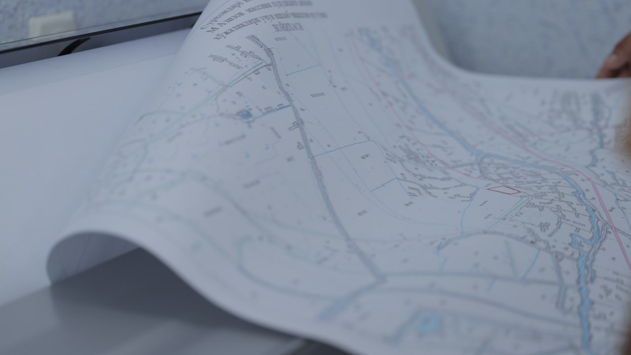
plots the water protection and sanitary protection zones, as well as the boundaries of the coastal and sanitary protection strips, on a planning and cartographic basis and determines the total area taking into account the regime of the plots and of the land and water. On the planning and cartographic basis, the boundaries of all plots previously allocated for various needs within the water protection zone and the adjoining plot are shown;
prepares data substantiating the dimensions of the water protection and sanitary protection zones, information on the degree of the structure’s impact on the environment and other technical and economic indicators;
develops measures for constructing facilities and for closing or demolishing enterprises, buildings and structures that have a negative impact on the state of the water, on the improvement of the territory and on other matters.
At present, the Surkhandarya regional division has established the protection zones of canals and drains over a distance of 417.77 km across the region, namely:
Angor district — 74.8 km
Muzrabot district — 71.3 km
Sariosiyo district — 69.8 km
Sherobod district — 201.87 km — over these distances the protection zones of canals and drains have been established.